
GeoEngage 2026: Socio-Healthcare Edition
Building on GeoEngage 2025, where experts and students explored how geospatial tools could improve social services and foster more inclusive communities, GeoEngage 2026 took the conversation further, bringing stakeholders together to explore practical applications, exchange ideas and shape new possibilities for the sector.
Last updated on 5 November 2026
GeoEngage 2026: Socio-Healthcare Edition, held on 30 September and 1 October, brought together government agencies, community organisations and innovators to explore how geospatial technology can be applied to real-world social and healthcare needs.
Jointly organised by SLA, the Ministry of Social and Family Development (MSF) and the National Council of Social Service (NCSS), the event created a platform to share practical solutions, exchange perspectives and strengthen collaboration towards creating meaningful impact for the community.
Opening the event, Guest of Honour Mr Eric Chua, Senior Parliamentary Secretary for Law and Social and Family Development, shared a relatable example of how geospatial solutions can make a difference in everyday life. Something as simple as helping seniors find an accessible route to meet friends for breakfast can support greater independence while enabling them to stay active and socially connected.
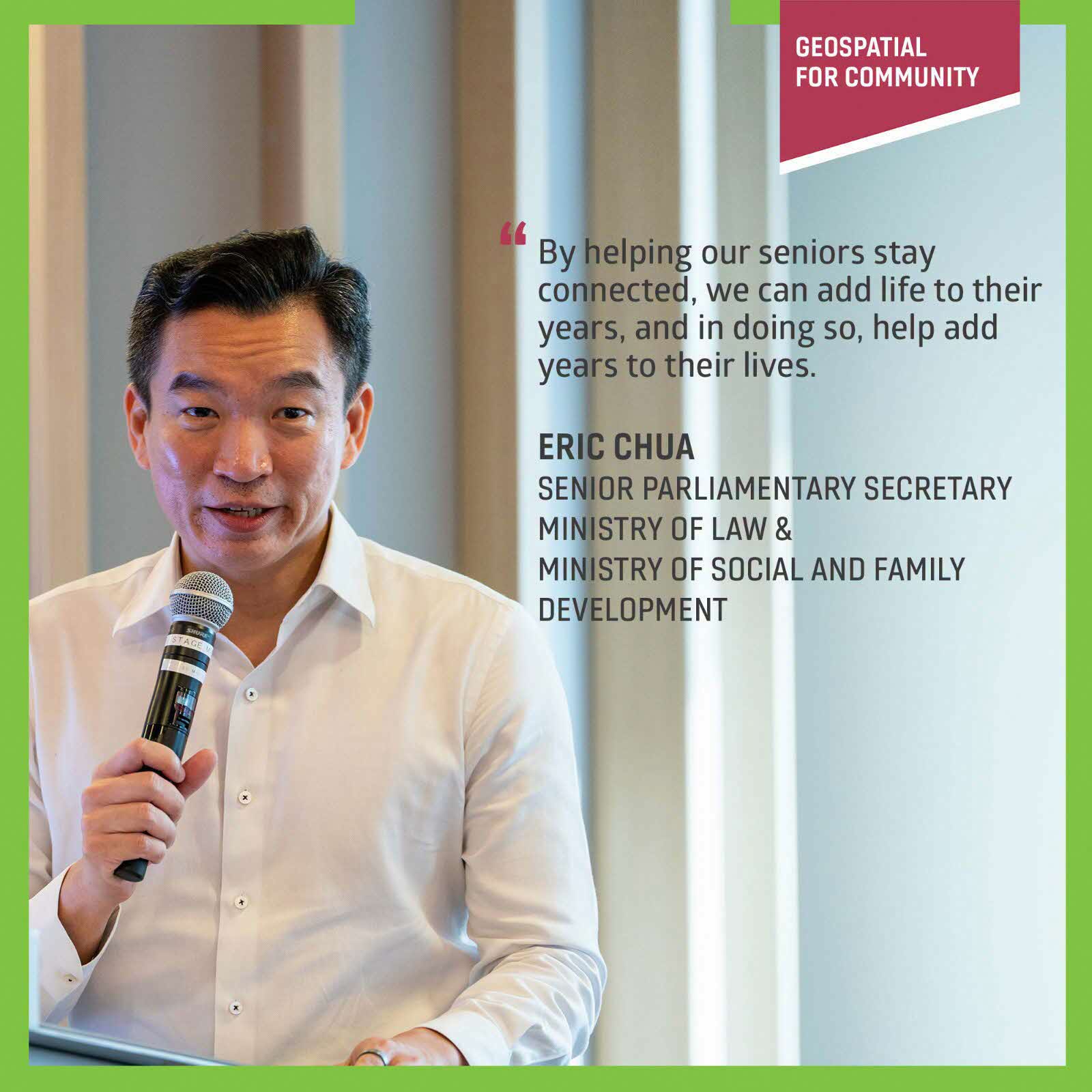
Guest of Honour: Mr Eric Chua, Senior Parliamentary Secretary for Law and Social and Family Development
Amazon Web Services – Singapore Land Authority Geospatial Innovation Challenge 2026
GeoEngage 2026 also spotlighted the creativity of the next generation of geospatial innovators, with the joint winners of the AWS-SLA Geospatial Innovation Challenge 2026 showcasing solutions addressing everyday social challenges.
From ITE College Central, CalmPath SG aims to help youths discover mental health support, safe spaces and peer communities.
Singapore Polytechnic’s Kaki, meanwhile, helps seniors discover nearby activities and find a buddy to join them. Its rather adorable inspiration? Guinea pigs! Like these sociable animals, we thrive on companionship, and sometimes all it takes is a makan kaki or kopi kaki to get us out and about.
Importantly, promising ideas can progress beyond the competition into real-world applications. Last year’s winning solution, ReMind, is now being tested with MINDS as part of the Enabled Living Programme, demonstrating how innovation challenges can provide a springboard for solutions with meaningful community impact.
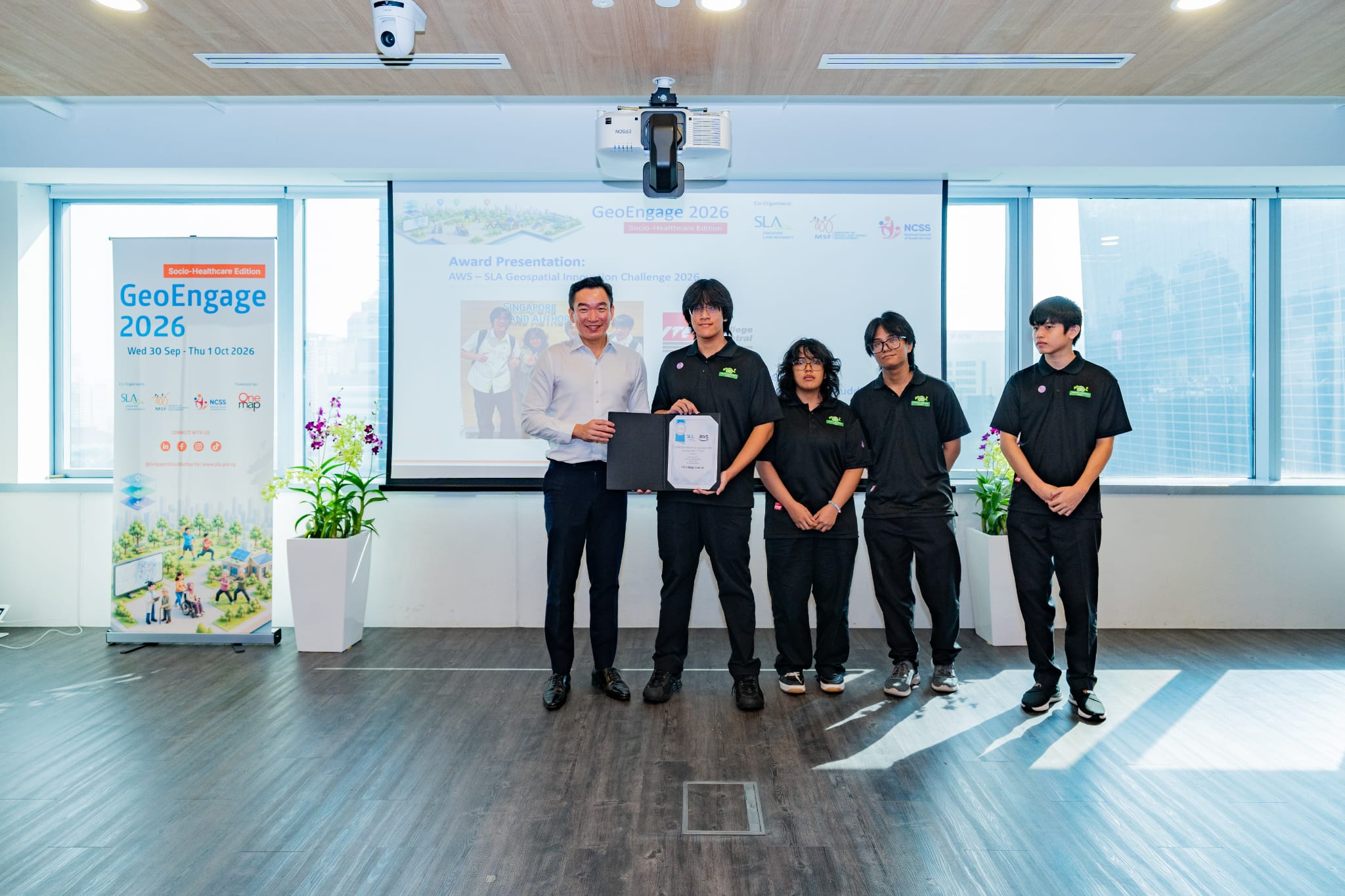
ITE College Central Team
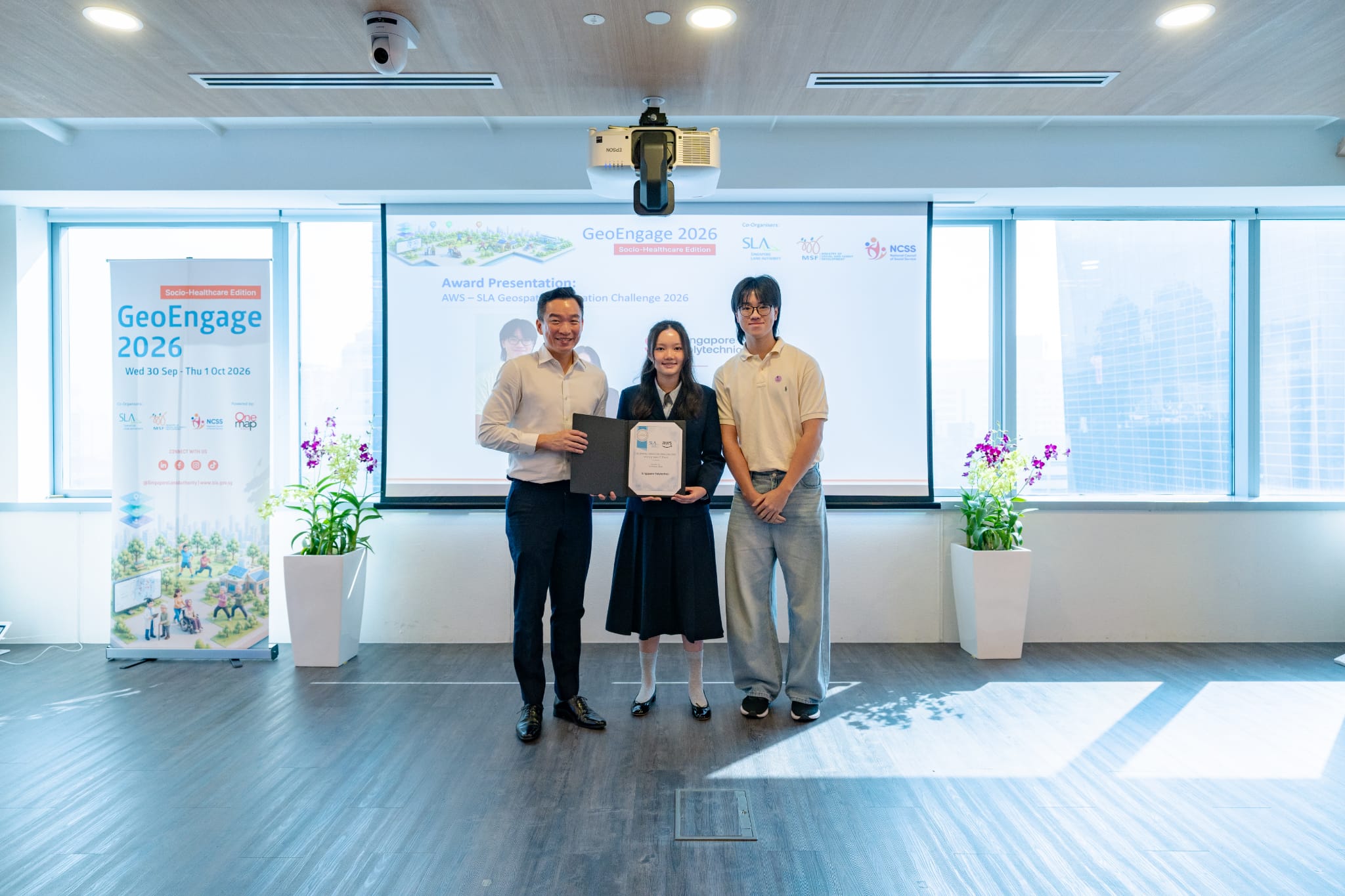
Singapore Polytechnic Team
Geospatial Insights and Applications for Stronger Communities
A key focus of GeoEngage 2026 was how geospatial insights and applications can help organisations better understand community needs and deliver more targeted support.
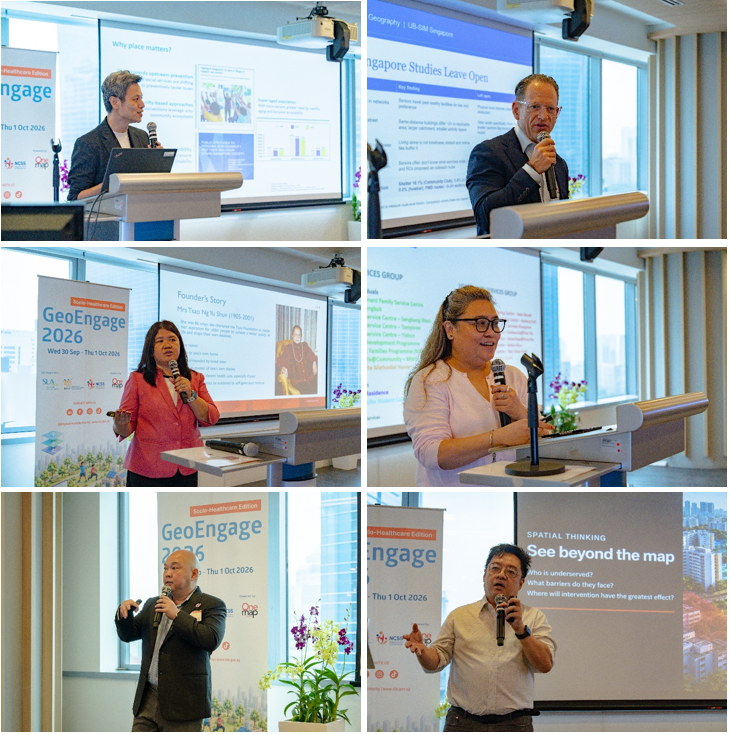
Top left: Mr Lim Liyang, Senior Deputy Director, Geospatial & Survey, Singapore Land Authority | Top right: Prof Adam Grodek, Lecturer UB-SIM, Department of Geography, University at Buffalo | Middle left: Ms Susana Concordo Harding, Senior Director at International Longevity Centre Singapore, Tsao Foundation | Middle right: Ms Mei Andres, Head, Active Ageing Centres, Methodist Welfare Services | Bottom left: Mr Ian Chow, Director for Employment Services, SPD | Bottom right: Mr Derek Lam, Senior Director for Cloud Engineering, Oracle
Ms Mei Andres of Methodist Welfare Services (MWS) shared its Ling Ling Time initiative, which brings seniors together through regular activities to foster social connections and neighbourly support. Building on the programme, MWS is exploring how geospatial data could help identify areas of need across its Active Ageing Centre catchments, uncover outreach gaps and better reach seniors who may be socially isolated.
Ms Susana Concordo Harding of Tsao Foundation demonstrated how geospatial mapping and heat maps can reveal neighbourhood-level patterns in loneliness and health. Drawing on its 2025 Whampoa Population Health Survey of approximately 2,000 older residents, the work provides insights into how community needs have evolved and where more targeted interventions could be considered.
Other presentations broadened the discussion to different aspects of healthy and inclusive communities. Mr Lim Liyang from SLA shared the LAMP collaboration with SingHealth Community Hospitals, which connects residents with nearby community activities to support preventive healthcare, as well as efforts to map Barrier-Free Access routes. Prof Adam Grodek from the University at Buffalo explored how spatial analysis can identify gaps in access to healthcare, transport and community services, while Mr Derek Lam from Oracle highlighted how spatial thinking can help practitioners uncover unmet needs, improve service coordination and develop more targeted interventions.
Together, the presentations showed how geospatial insights can move beyond mapping locations to reveal patterns, identify gaps and ultimately help organisations better understand where support is needed and how services can be delivered more effectively.
From Insights to Action: Turning Challenges into Solutions
GeoEngage 2026 also highlighted how partnerships can translate geospatial insights into practical solutions on the ground.
Ian Chow from SPD shared how SLA and SPD collaborated on a proof of concept to strengthen volunteer engagement and service delivery in Tampines. By mapping volunteer locations alongside community needs, the solution explores how volunteers can be more effectively matched to areas where support is needed. The proof of concept will continue to be refined, with potential for similar applications to be explored with other social service agencies.
This is one example of SLA’s growing collaborations with partners such as MSF, NCSS, the Singapore Department of Statistics, Agency for Integrated Care, Health Promotion Board and NUS Cities. Together, these partnerships are exploring how geospatial data and tools can help anticipate community needs, improve access to eldercare, encourage healthier lifestyles and address operational challenges.
As SPS Chua emphasised, organisations do not need to come with ready-made geospatial solutions. Instead, they can bring the challenges they face on the ground, whether planning home visits, identifying suitable services or matching volunteers, and work with SLA to explore how geospatial capabilities can help address them.
Harnessing Geospatial Insights to Better Support Youths at Risk
GeoEngage 2026 brought together 18 representatives from 16 organisations across the public, social service, non-profit and academic sectors for a roundtable co-hosted by SLA and MSF, focused on how geospatial insights could support youths at risk. Participants exchanged perspectives on the challenges of understanding increasingly mobile and dispersed youth populations, and explored how location-based insights could help uncover congregation and movement patterns, service coverage gaps and opportunities for more targeted outreach. The ideas generated will provide a basis for further collaboration, including identifying suitable problem statements and data that could be taken forward for prototyping.
.jpg)
18 roundtable participants from 16 organisations across the public, social service, non-profit and academic sectors
Exploring Geospatial Solutions Through Design Thinking Workshop
Led by Ted Kilian, Design Lead/IT of GovTech & SLA, the workshop adopted a design-thinking approach to encourage participants to examine challenges from the users’ perspective. Through persona creation, participants explored different user needs, identified key pain points and challenge areas, and discussed potential solutions that could address these needs.
Using the SPD Volunteer Matching POC as a case study, participants considered how similar geospatial approaches could be applied within their own organisations and areas of work. The discussions surfaced opportunities for geospatial data and tools to support service planning and delivery, while also highlighting practical considerations in translating ideas into implementation.
The discussions showed that there is interest in moving from understanding the possibilities of geospatial technology to testing how it can be applied in practice. The workshop also reinforced the importance of accessible data, appropriate tools, capability building and cross-agency collaboration in helping organisations take potential use cases from ideation towards piloting and implementation.
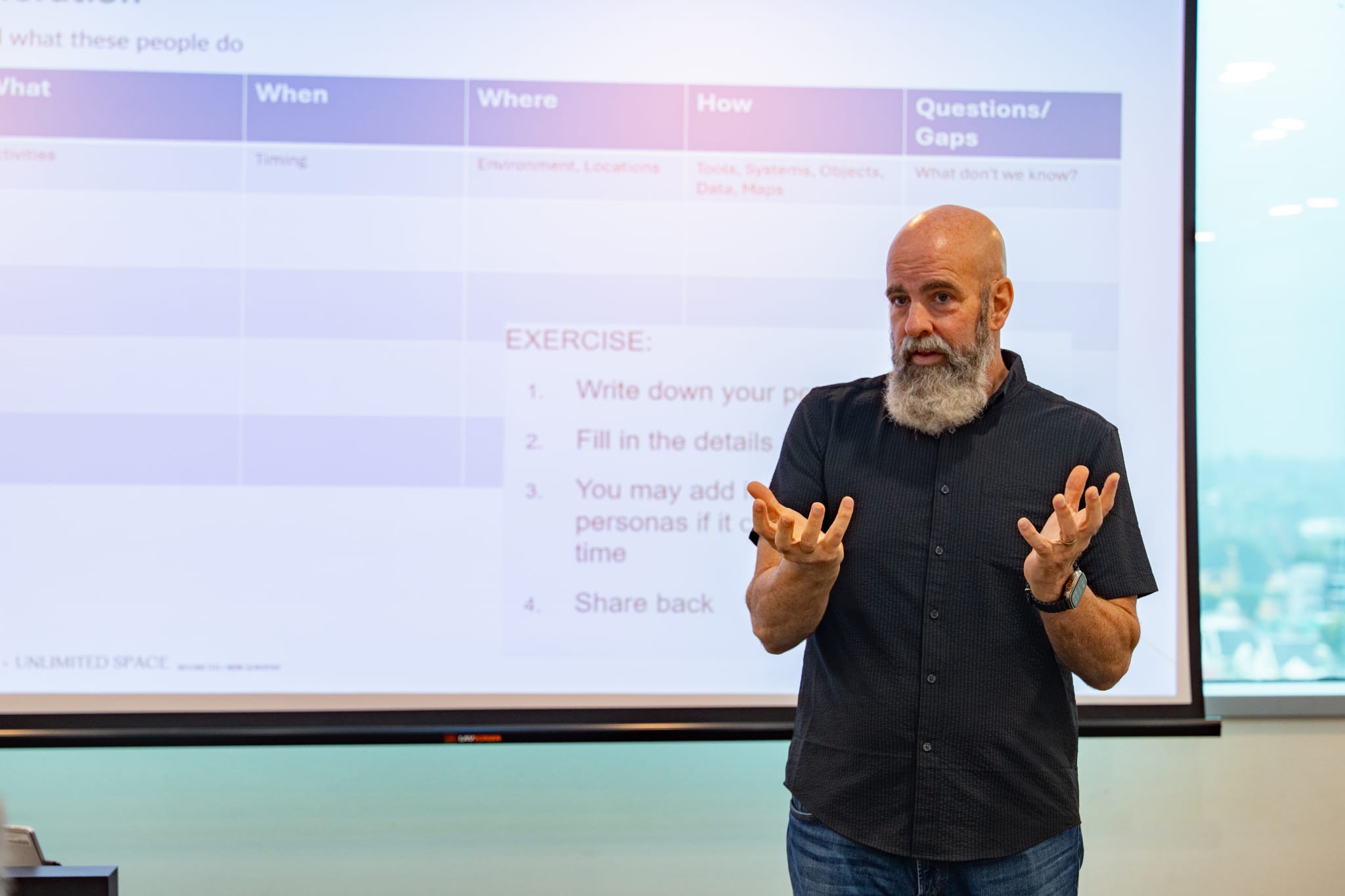
Mr Ted Kilian, Design Lead/IT of GovTech & SLA leading the workshop
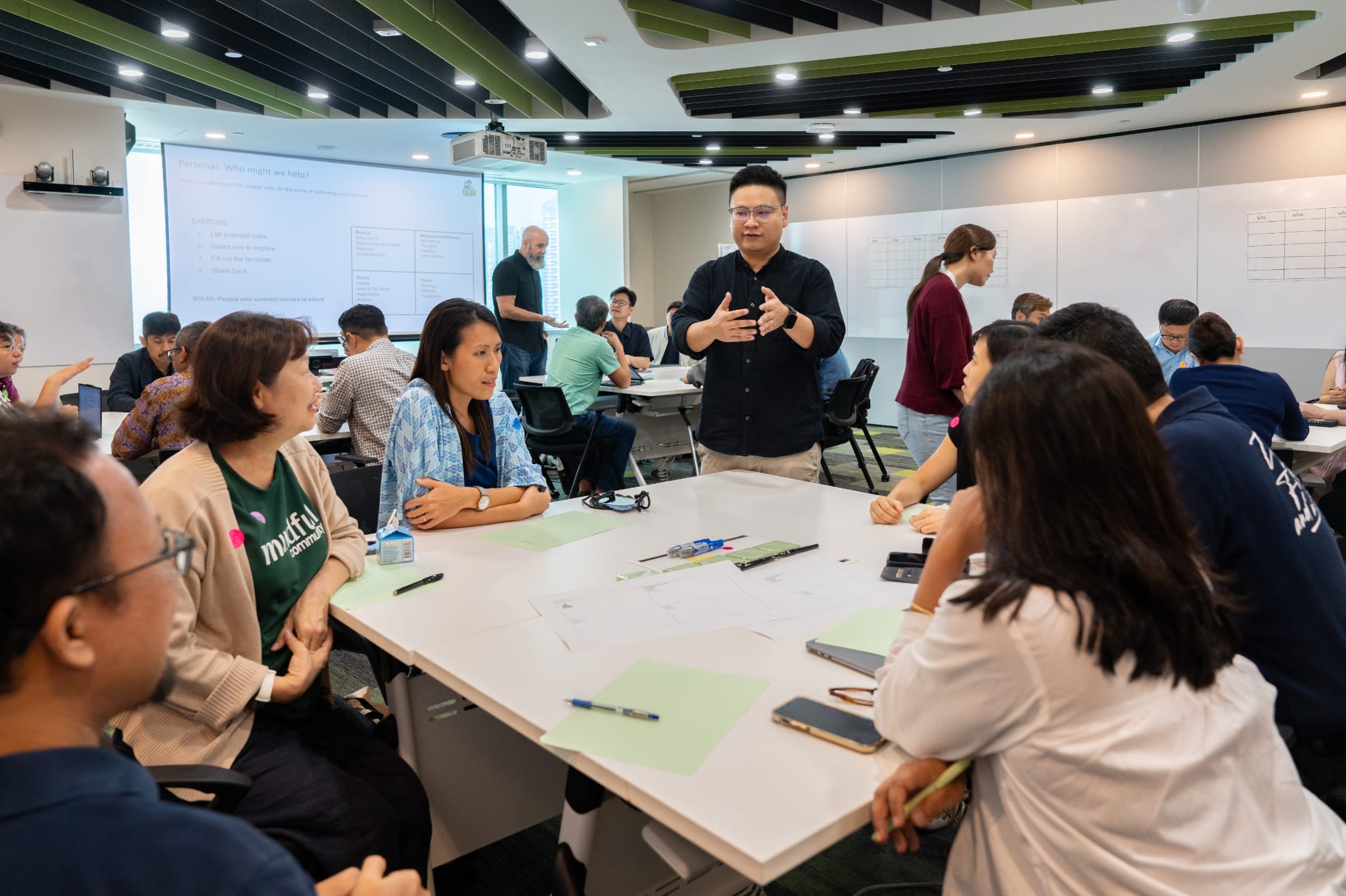
Practical Workshops: From Geospatial Concepts to Application
Alongside the main programme, a series of practical workshops gave participants opportunities to deepen their understanding of geospatial technology and explore how it could be applied to the socio-healthcare sector. Across the four workshops, participants were exposed to different aspects of geospatial technology, ranging from foundational concepts and real-world applications to advanced analytics, AI-enabled development and field-based learning.
The workshops demonstrated how location-based insights can support the day-to-day work of social service and healthcare organisations, including understanding community needs, improving workflows, informing resource allocation and supporting better decision-making. Through case studies, discussions and practical activities, participants were encouraged to relate these possibilities to challenges and opportunities within their own areas of work.
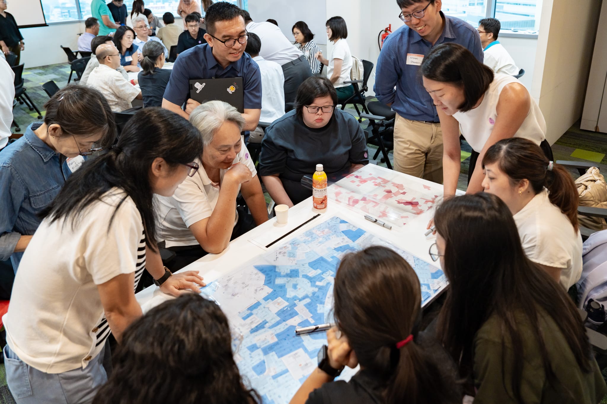
Workshop by SLA: Working with Geospatial Data for Social Impact
Participants were also introduced to emerging technologies and new ways of working with geospatial data. Through AWSome Lab and KIRO, participants explored how OneMap APIs and AI-assisted development could be used to rapidly prototype geospatial applications, with participants gaining first-hand experience in building an application. Oracle and CARTO complemented this with an exploration of advanced spatial analytics and Agentic GIS, demonstrating how increasingly sophisticated geospatial questions could be translated into more accessible and actionable insights.
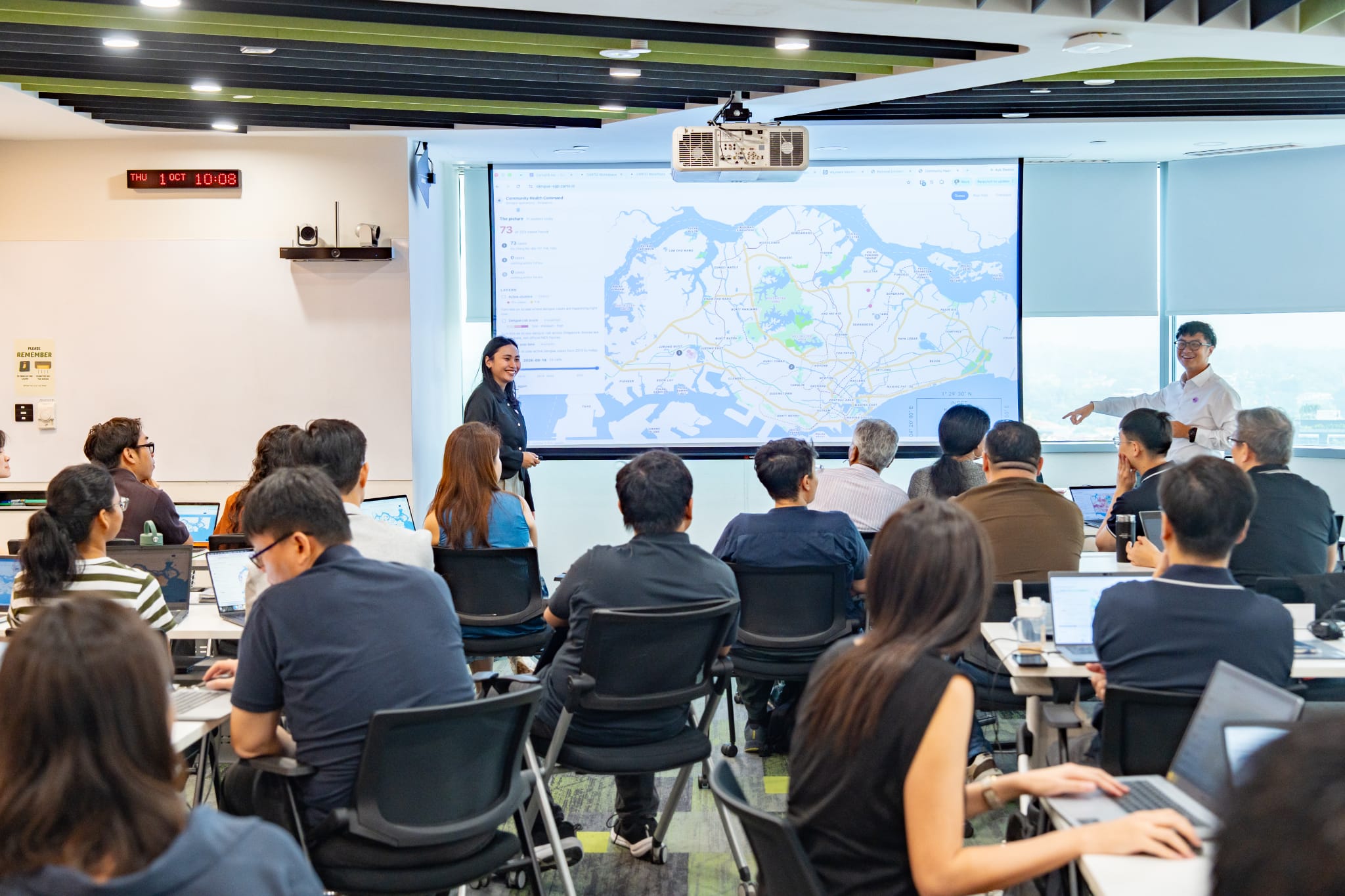
Workshop by Oracle: Exploring the Future of Geospatial and Agentic GIS with CARTO and Oracle
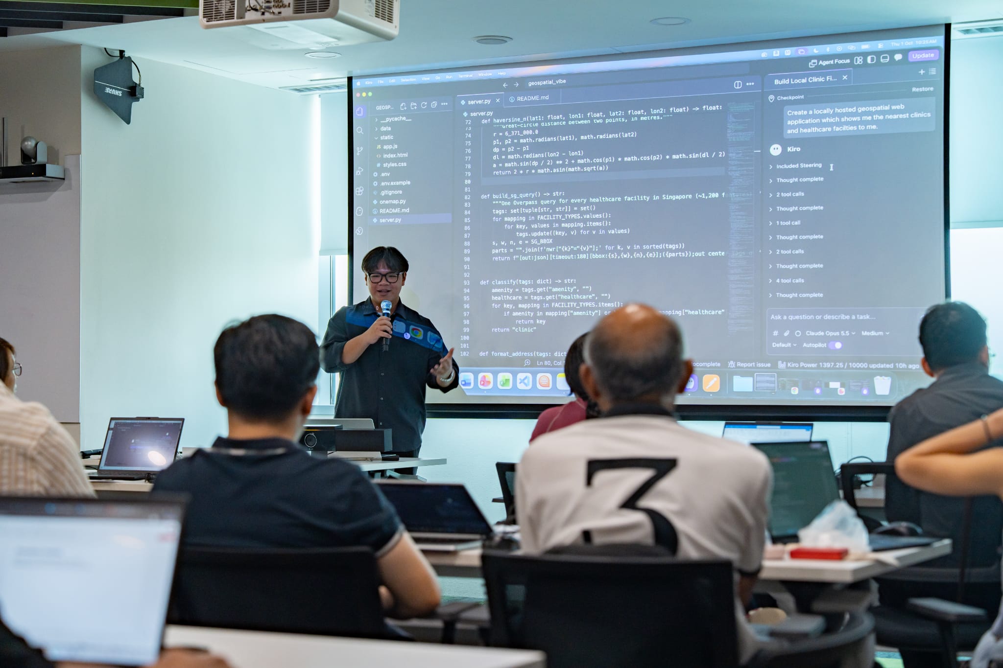
Workshop by AWS: Empowering Real-World Problem Solving Through Geospatial Prototyping with KIRO & AWSome Lab
Learning also extended beyond the workshop setting. A field-based activity brought participants into the heartlands, where they used geospatial tools to capture landmarks and features and considered how the physical environment and community assets shape people's everyday experiences.
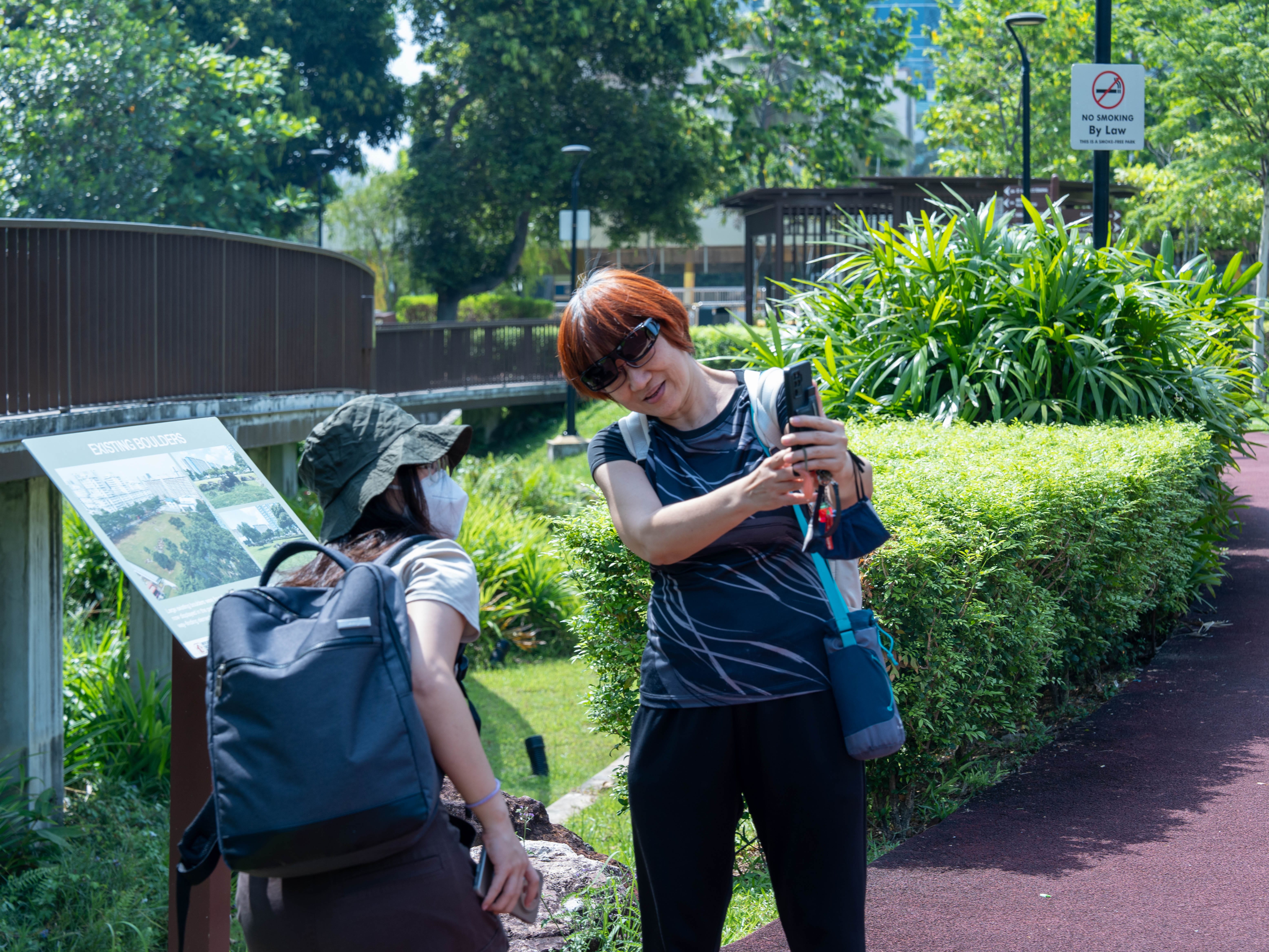
Workshop by SLA: Collecting Community Data Assets in the Field [Outdoor Activity]
Taken together, the workshops provided participants with multiple entry points into geospatial technology, from building foundational understanding to experimenting with emerging tools and considering practical applications. They reinforced that geospatial technology is not simply about mapping, but can provide a practical means to better understand communities, uncover insights and develop solutions around real-world socio-healthcare needs.
Catch the highlights from GeoEngage 2026 in our post-event video here (opens in new tab).
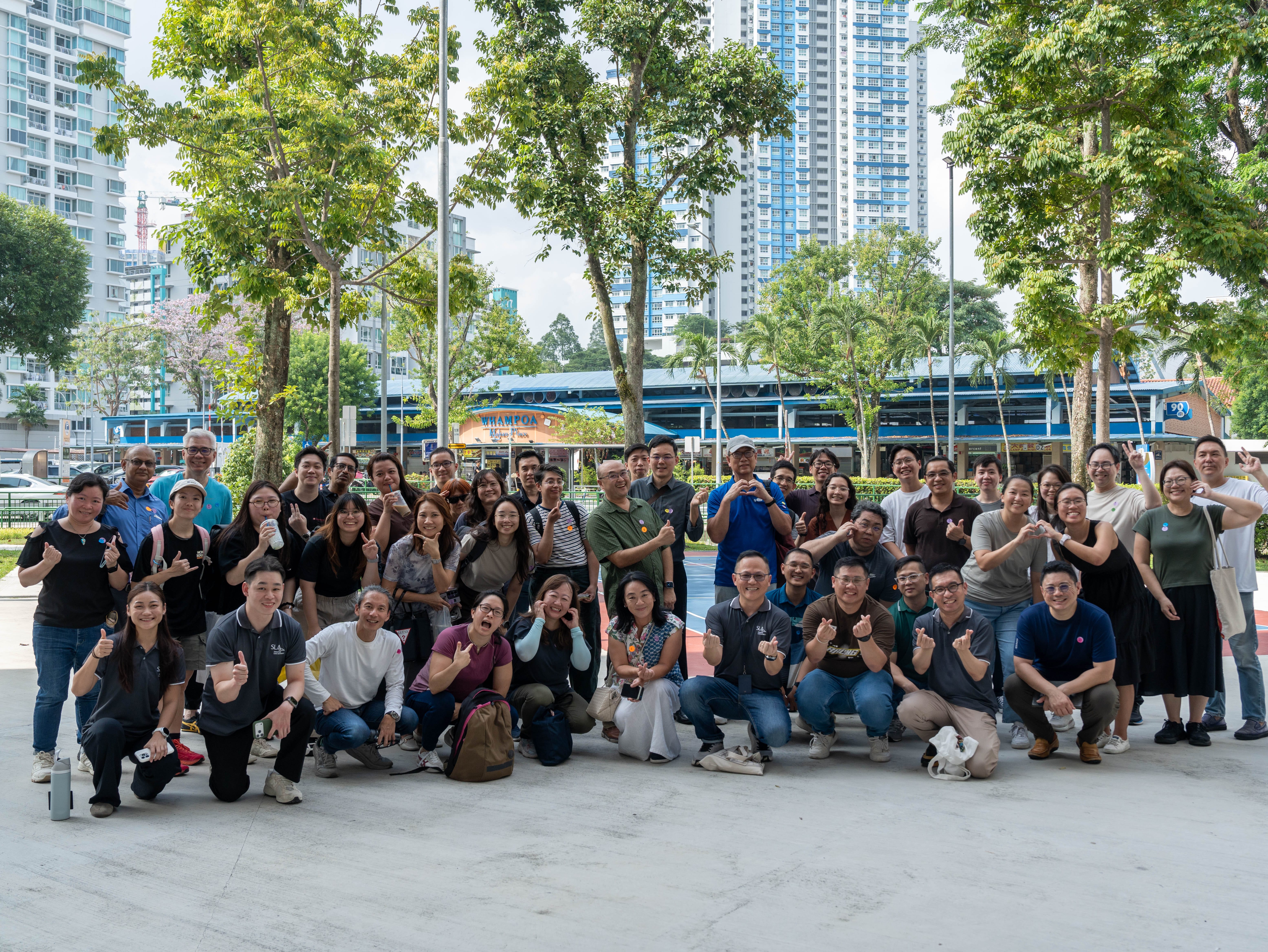
We look forward to seeing you at the next edition!