Sustainability Use Cases
The National 3D Mapping Programme plays a vital role in advancing sustainability initiatives and research through its detailed digital representation of Singapore's urban landscape. By providing high-resolution 3D models of buildings, vegetation, and infrastructure, researchers and urban planners can conduct sophisticated analyses of solar energy potential on building rooftops and facades. This data enables precise calculations of solar panel placement efficiency and helps identify optimal locations for green energy installations. Additionally, the 3D mapping data supports urban heat island studies by allowing researchers to analyse how building heights, density, and materials affect local temperature patterns.
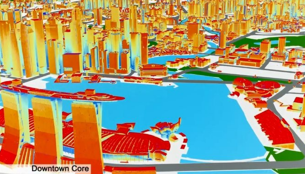
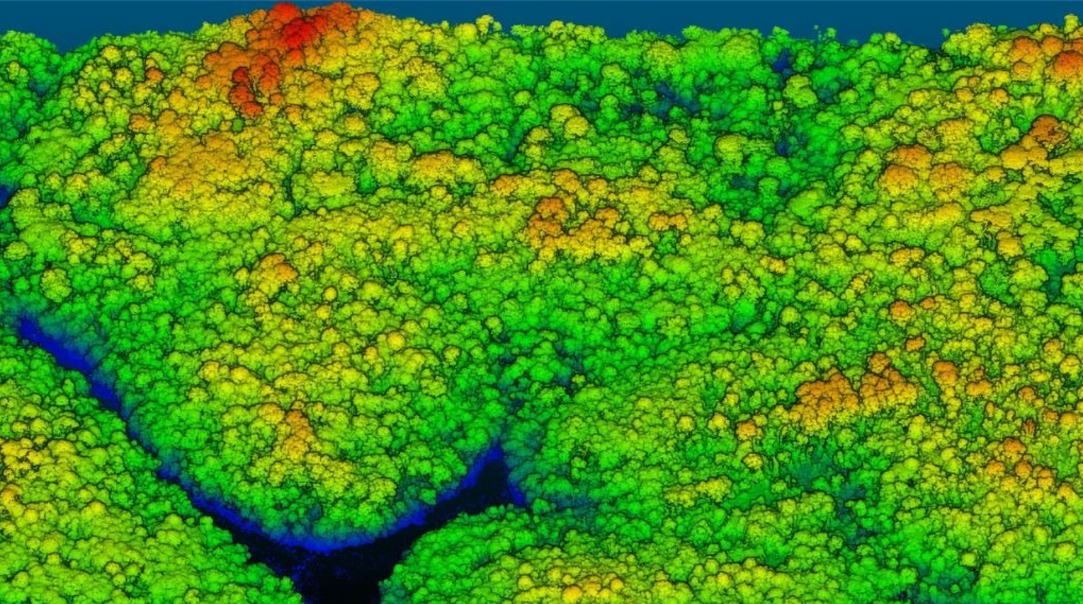
The programme also contributes significantly to green building initiatives and environmental planning. Urban planners and architects use the 3D data to study wind flow patterns between buildings, helping to optimise natural ventilation and reduce energy consumption in new developments. The detailed vegetation mapping helps in monitoring urban greenery and estimation of carbon sink. Researchers can also use this data to study the impact of rising sea levels on coastal areas and develop climate resilience strategies.