

Geo Connect Asia 2026
Geo Connect Asia 2026 Opening
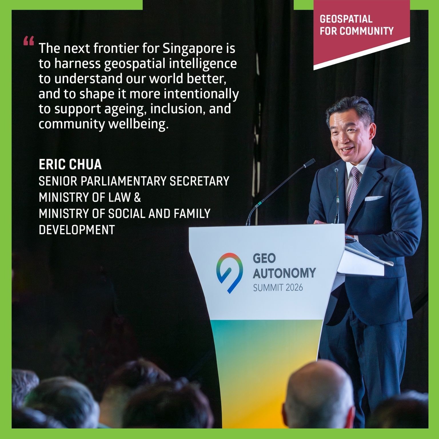
Gathering government, industry, academia and the community, Geo Connect Asia 2026 commenced on 31 March 2026 and established the framework for future developments: utilising geospatial technology not merely to comprehend our world, but to create improved outcomes for people, particularly in addressing challenges surrounding ageing, inclusion and community wellbeing.
The Guest of Honour, Senior Parliamentary Secretary for the Ministry of Law and Ministry of Social and Family Development, Mr Eric Chua, delivered the opening address in which he emphasised Singapore's advancement under the Singapore Geospatial Master Plan—and the emerging frontier of implementing geospatial technology more transformatively throughout society.
This transformation is already materialising through robust partnerships and practical applications. Projects such as the Living Asset Map (LAMP), which SLA jointly developed with SingHealth Community Hospitals, are facilitating social prescribing by linking seniors to nearby activities and support networks, whilst SLA’s OneMap Barrier-Free Access routing is enhancing last-mile accessibility—assisting persons with disabilities to navigate Singapore with increased ease and confidence.
This commitment to meaningful impact was equally apparent in this year's ASEAN Geospatial Challenge (AGC) winning projects, with which SPS Chua engaged personally, listening directly to teams about the rationale and impact underlying their solutions.
🔹 𝐆𝐄𝐎𝐒𝐏𝐄𝐂𝐓𝐑𝐀 from Indonesia leverages AI-driven 3D modelling to assess rooftop solar potential while improving property tax accuracy—bringing together sustainability and smarter urban management.

🔹 𝐏.𝐀.𝐓.𝐇. (Plastic Assessment Tracking & Hotspots) from the
Philippines maps how plastic moves through urban waterways, enabling cities
to act upstream—targeting pollution at its source before it reaches our
seas.

These projects serve as a compelling demonstration that geospatial technology
encompasses not just maps but people, places, and potential. Congratulations
to all AGC winners for expanding the horizons of what geospatial technology
can achieve 👏
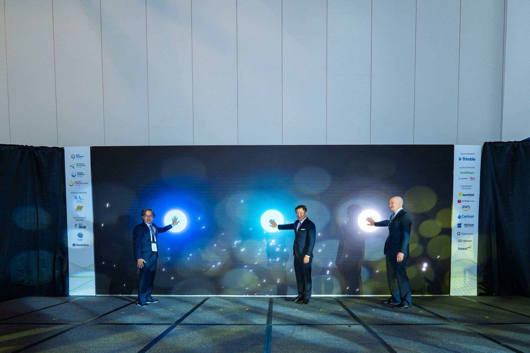
Launch of 6th Geo Connect Asia
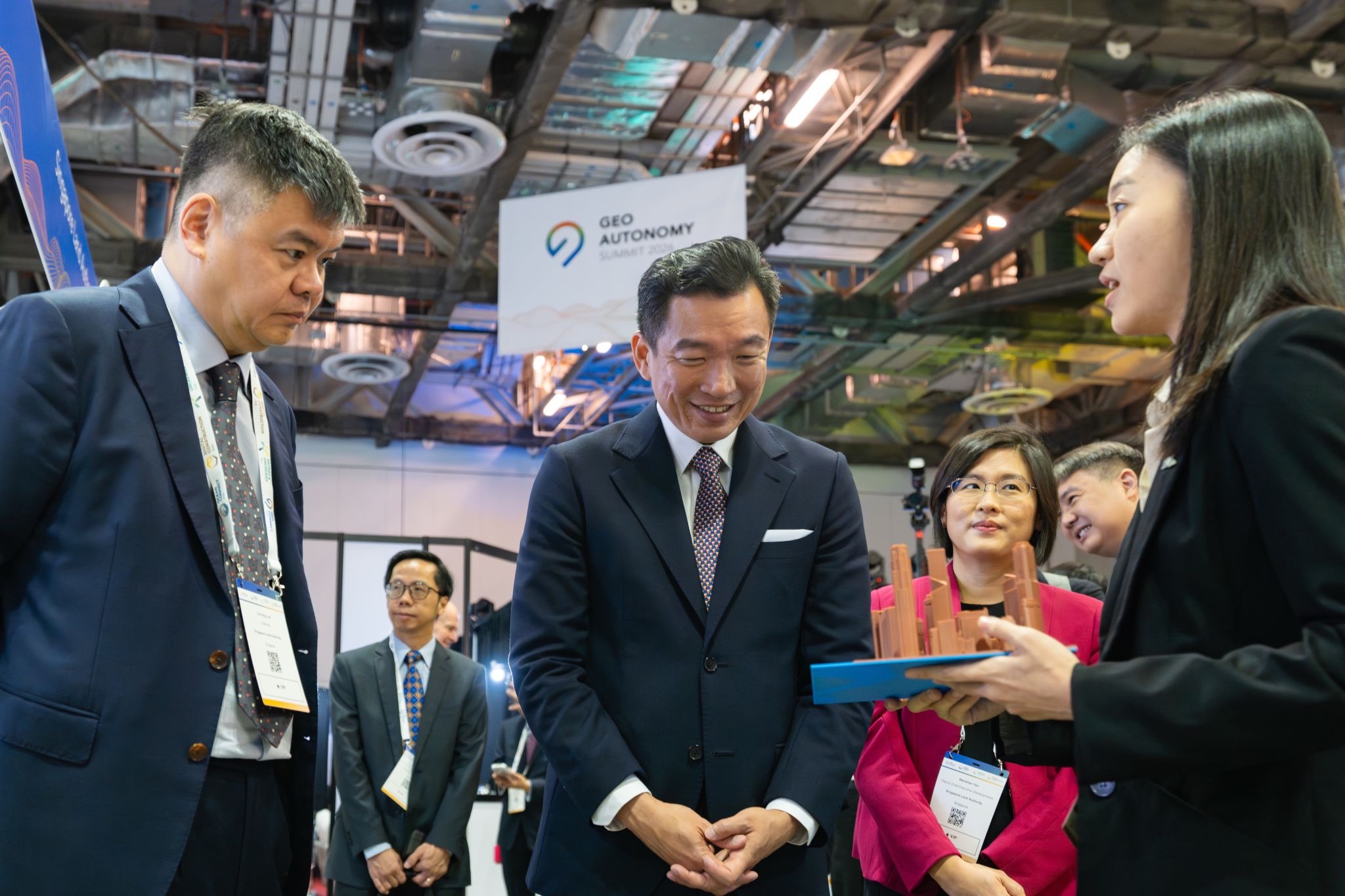
Exhibition tour by GOH
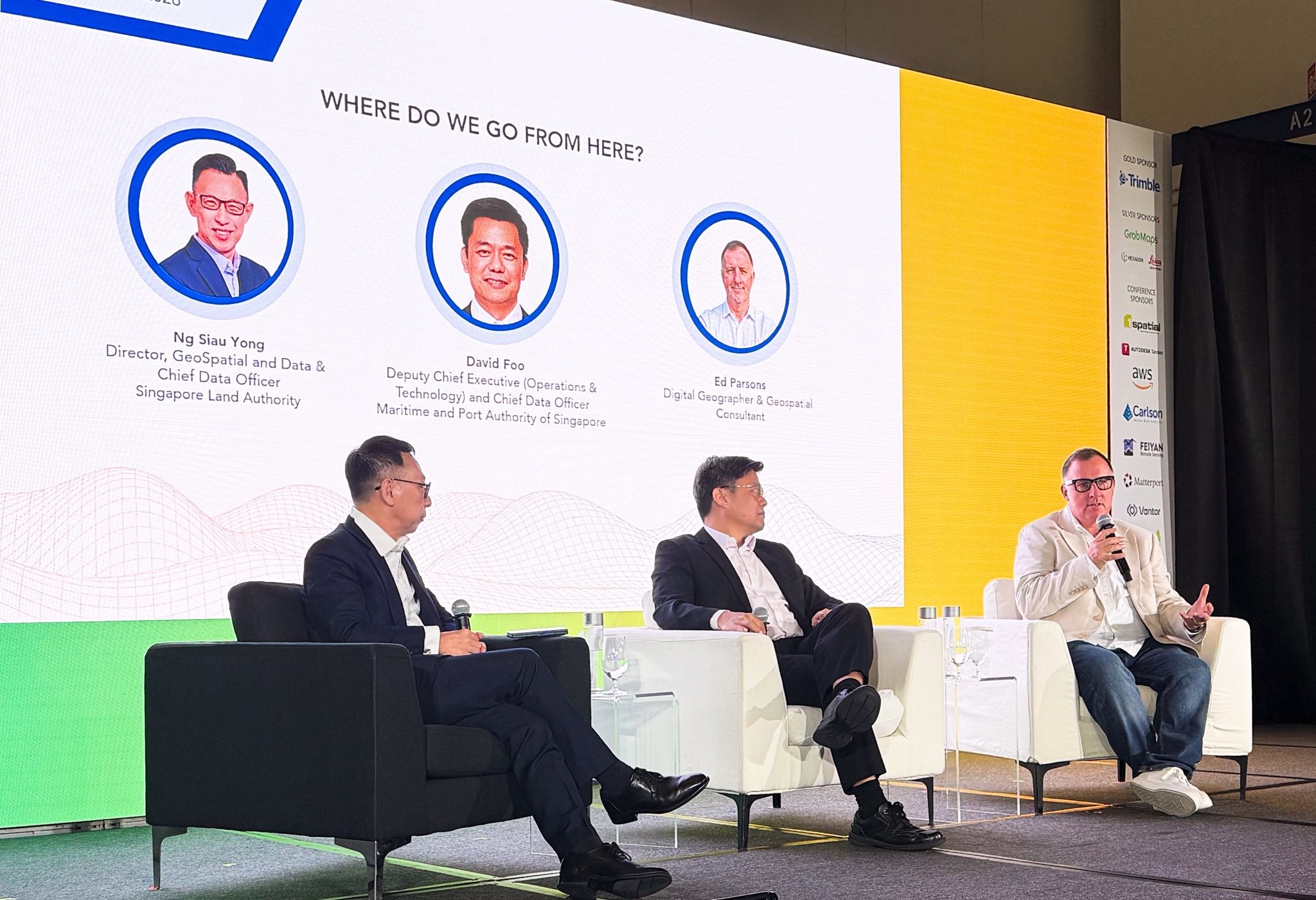
Panel Discussions
𝐖𝐡𝐞𝐫𝐞 𝐝𝐨 𝐰𝐞 𝐠𝐨 𝐟𝐫𝐨𝐦 𝐡𝐞𝐫𝐞—𝐚𝐧𝐝 𝐡𝐨𝐰 𝐝𝐨 𝐰𝐞 𝐠𝐞𝐭
𝐭𝐡𝐞𝐫𝐞?
Throughout two panel discussions at Geo Connect Asia 2026, the dialogue
progressed from basic principles to practical implementation—examining
what geospatial technology truly represents today, and how artificial intelligence
is influencing future developments.
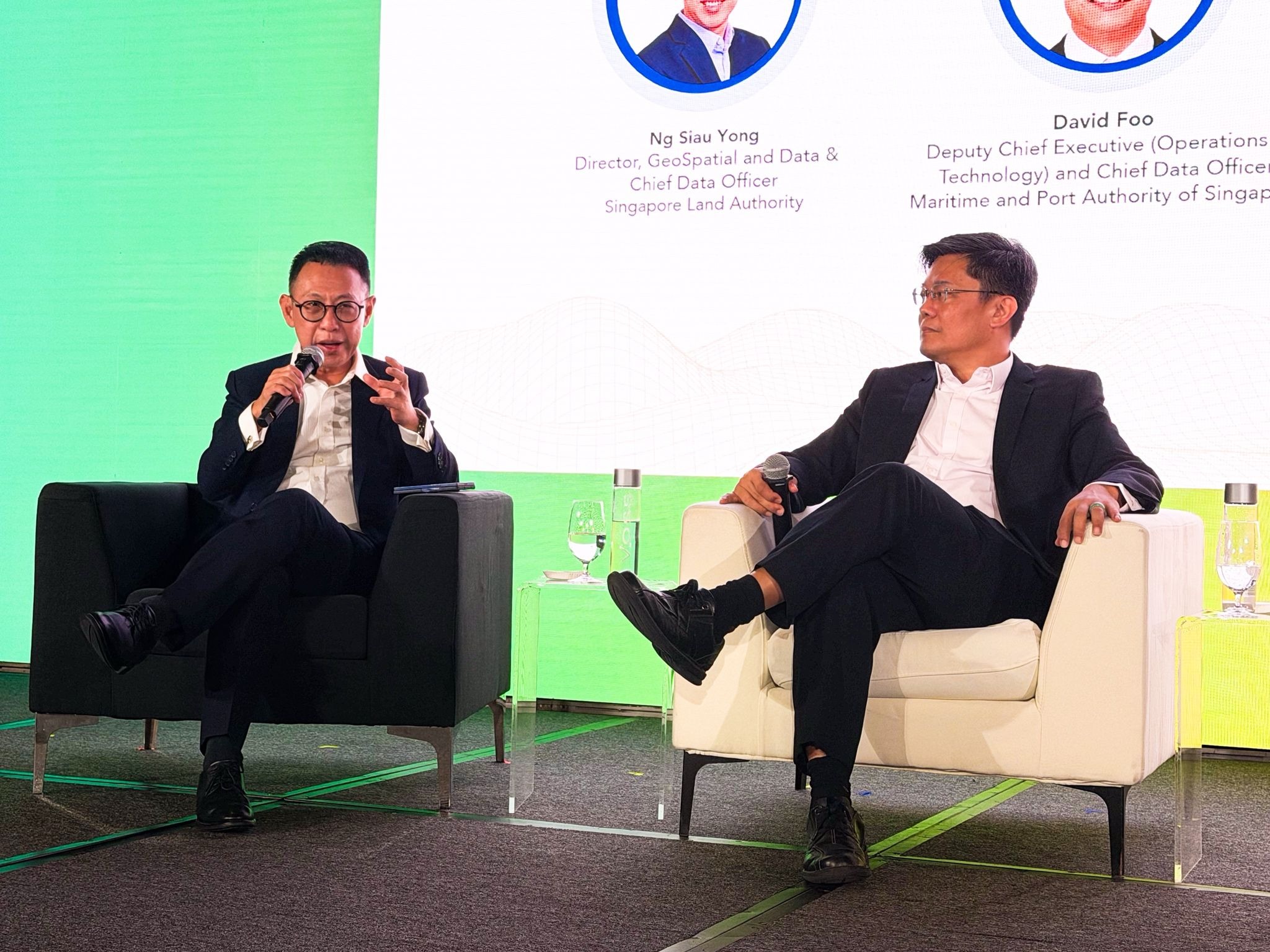
During the first panel facilitated by Mr Ng Siau Yong, Director of Geospatial Data Division / Chief Data Officer of Singapore Land Authority, alongside digital geographer Mr Ed Parsons and Mr David Foo, Deputy Chief Executive (Operations & Technology) of Maritime and Port Authority of Singapore, a crucial insight surfaced: whilst technology has advanced, the fundamental essence remains unchanged. Geospatial technology continues to centre on comprehending where elements are positioned, and how they interconnect with one another.
What has transformed is how this information manifests. Maps are no longer merely static deliverables—they are evolving into dynamic, real-time resources increasingly integrated into our everyday tools. Yet even as they become less conspicuous, their significance does not decrease.
Context, interpretation and dependability continue to rely upon them—particularly in more intricate environments, from densely populated cities to maritime sectors where circumstances are perpetually shifting.
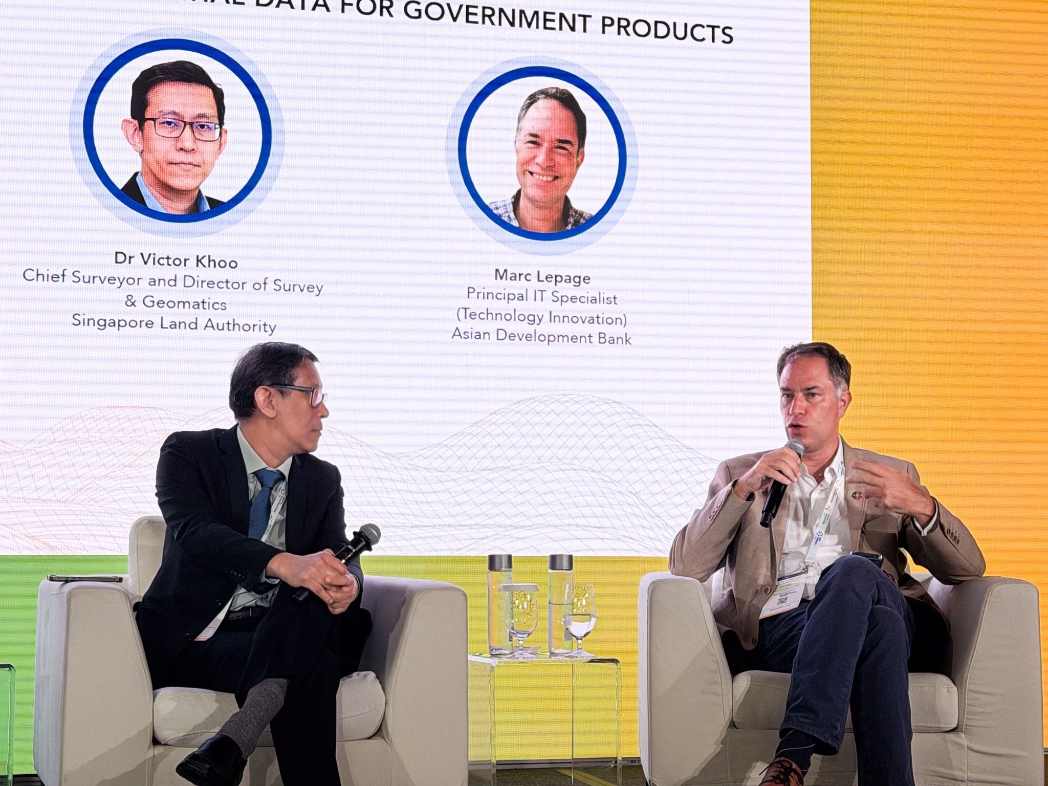
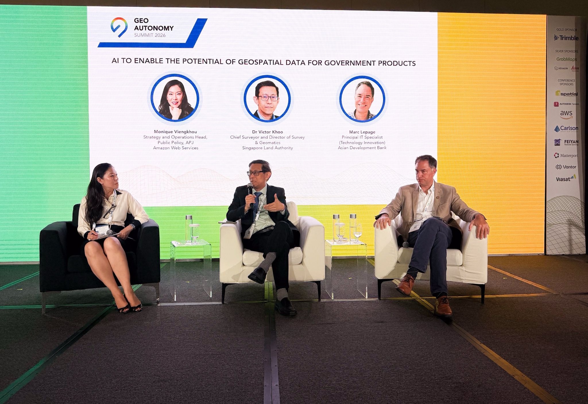
The second panel, facilitated by Ms Monique Viengkhou, Strategy and Operations Head, Public Policy, APJ at Amazon Web Services and including Dr Victor Khoo, Chief Surveyor and Director of Survey & Geomatics of Singapore Land Authority and Mr Marc Lepage, Principal IT Specialist Technology Innovation at Asian Development Bank, explored how AI is expediting this transformation.
From accelerating workflows to facilitating novel analytical approaches, AI is broadening possibilities—yet it does not supersede the fundamentals. Robust data, precise standards and comprehensive understanding of the geospatial value chain remain essential.
An example shared by Marc emphasised the importance of this approach. Following severe flash flood damage to a major water infrastructure project in Kathmandu, it demonstrated the necessity for predictive mapping—to better model risk and guide more resilient decision-making.
Moving forward, the trajectory points towards more integrated and dynamic environments, consolidating data across land, sea and infrastructure into "live" digital twins.
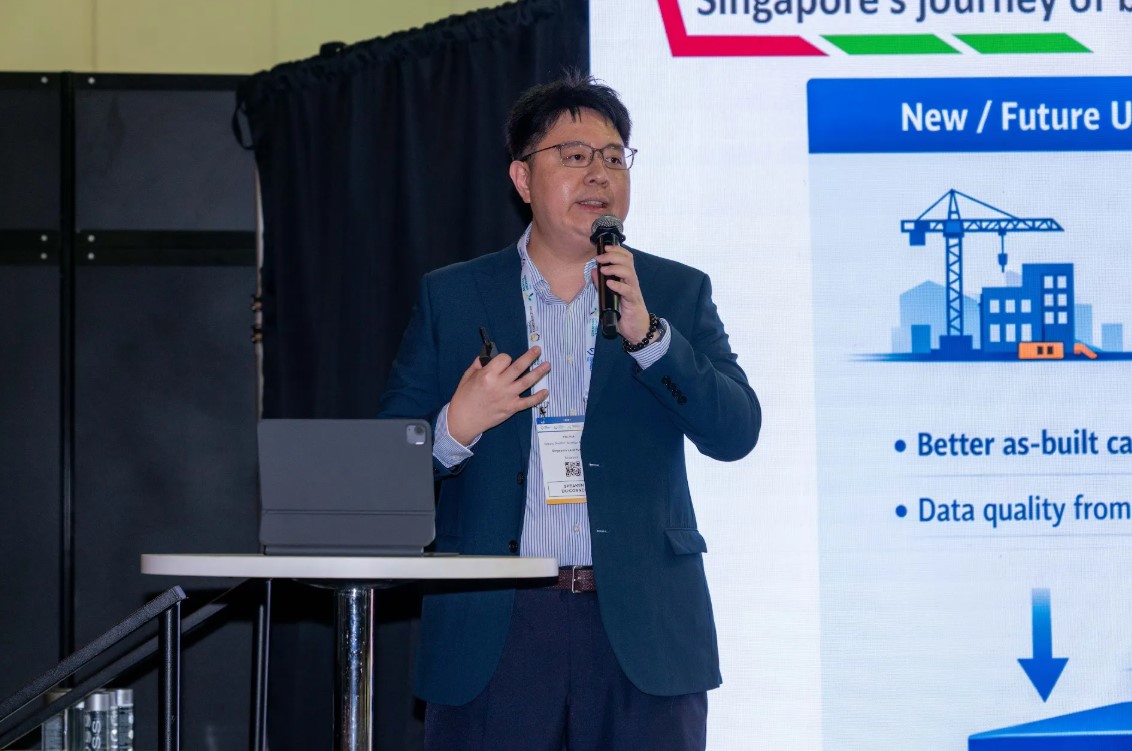
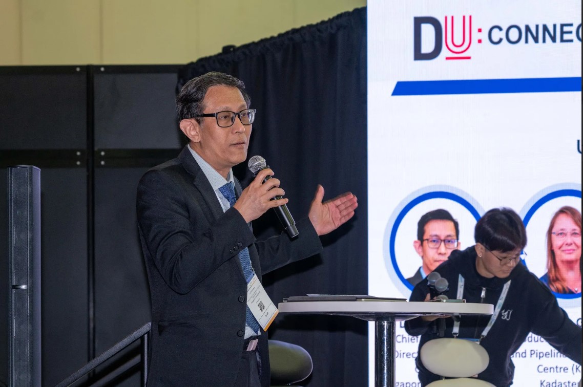
Digital Underground Connect
This year's DU Connect demonstrated a fundamental transformation in how the industry approaches underground infrastructure data.
Dependable underground data is no longer regarded as merely desirable, and discussions are evolving from 'how do we map it' to 'how do we utilise data to inform appropriate decisions'. The sector is advancing rapidly, moving beyond basic mapping towards strategic implementation.
This year's programme covered the following themes:
🤖 Leveraging AI and advanced mapping for next generation infrastructure
design
⚠️ Mitigating urban underground risk and building urban resilience
🗄️ Building a national utility data ecosystem and unlocking benefits
for the public and private sector
📱🏗️ Operational resilience for mission-critical assets through digital
underground twins
The quality and substance of discussions throughout the four sessions
was particularly notable. Strong storylines emerged, as key themes like
the importance of addressing underground risk proactively and early in
project development appeared consistently across presentations from government,
industry, and academic contributors. This demonstrates a sign of maturing
field and of the right people being in the room.
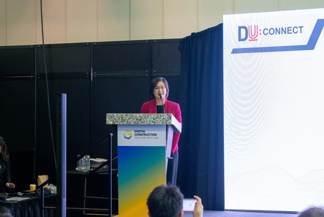
Opening by Ms Yeo Wenshan, Deputy Chief Executive (Development), SLA

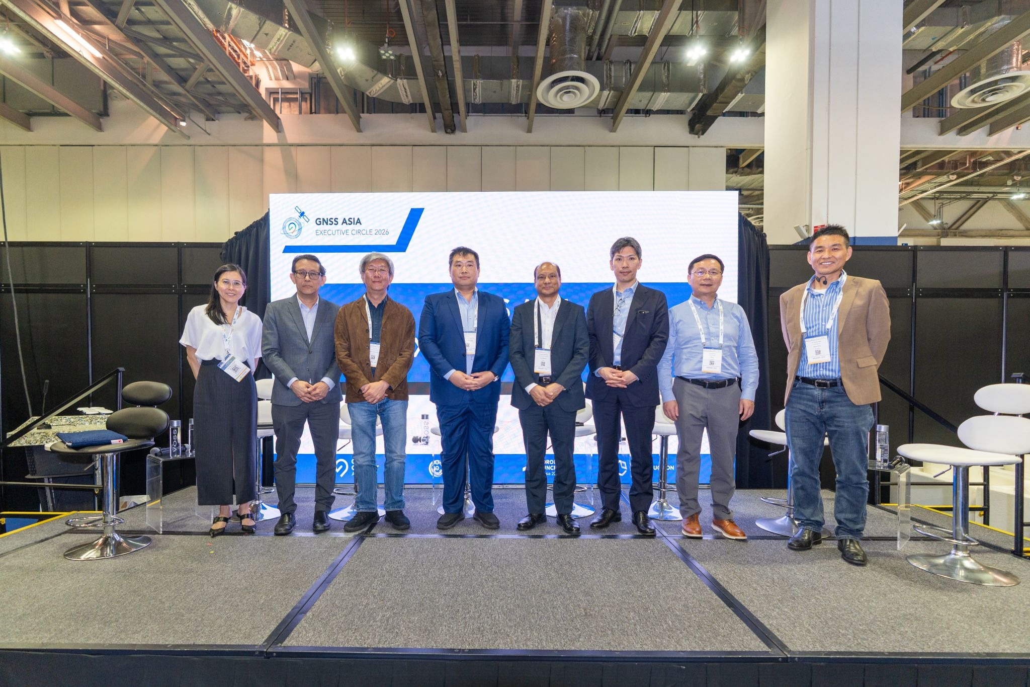
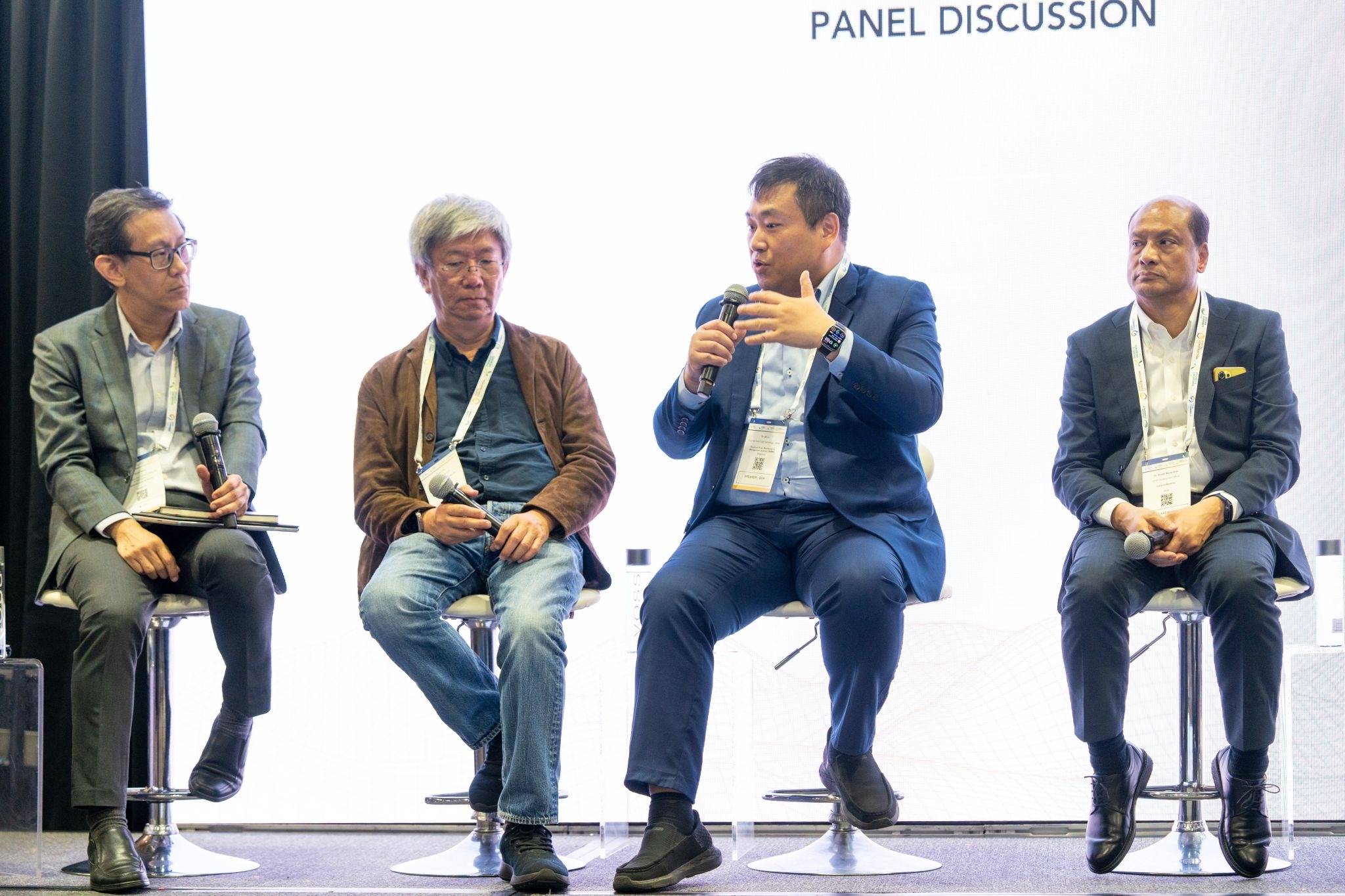
GNSS Asia Executive Circle
At the SLA-curated GNSS Asia Executive Circle, industry leaders convened
for an open discussion of implementing positioning technology in the real
world.
Across transport, delivery, robotics and smart city applications, one
thing became clear: positioning technology faces its biggest challenge
in actual use, where signals get cut off, conditions are rough, and circumstances
are never ideal.
A critical insight emerged from these discussions - precision positioning
serves as the foundation rather than an optional enhancement. Without dependable
and accurate location data, sophisticated systems across various applications
risk complete failure, whether they're detecting road defects across fleets,
navigating robots through complex spaces, or maintaining accountability
in high-stakes operations.
SLA’s SiReNT was recognised as an essential tool in this ecosystem, providing
a trusted reference for high-precision GNSS. But just as importantly, the
conversation acknowledged that GNSS alone is not enough.
As Singapore’s landscape transitions between open areas, dense urban corridors
and enclosed spaces, the future depends on integrated positioning—where
GNSS operates in conjunction with LiDAR and additional sensors to enable
seamless navigation across diverse environments.
Beyond today's positioning tools, the conversation focused on the importance of live and updated 3D maps. These information-rich maps will be the key to unlocking the “last mile” (and last inch) of autonomy, from doorstep deliveries to navigating Singapore's vertical cityscape.

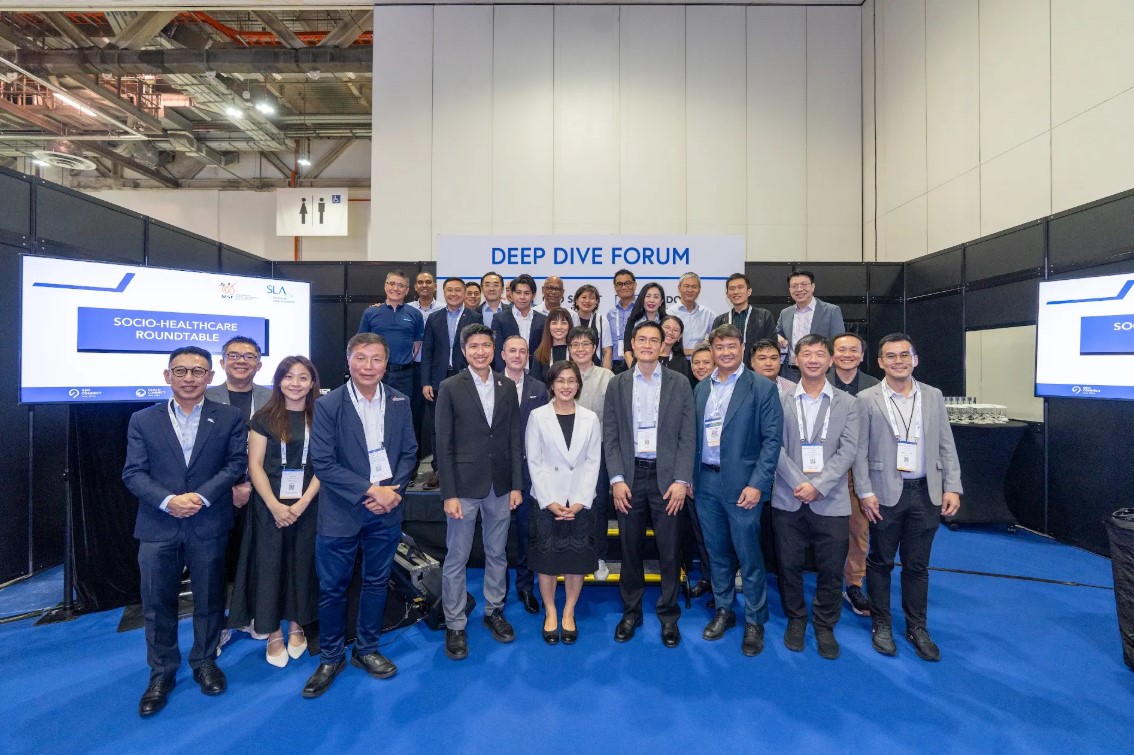
Socio-Healthcare Roundtable and Forum
Better healthcare begins in our communities, not in hospitals — it starts with the places where people live their daily lives.
The Socio-Healthcare Roundtable explored how geospatial technology can support the socio-healthcare sector in preventive interventions and other use cases.
Drawing from the roundtables co-hosted by Ms Yeo Wenshan, Deputy Chief Executive (Development) and Mr Benjamin Chan, Assistant Chief Executive (Geospatial & Engagement) from Singapore Land Authority, Mr Esa Masood, Deputy Secretary (Corporate and Partners) from Ministry of Social and Family Development and Mr Lim Shung Yar, Chief Executive Officer from National Council of Social Service, these conversations underscored the potential for geospatial data and technology to support a shift towards more preventive, place-based, and coordinated action across the socio-healthcare sector.
A total of 31 senior leaders and domain experts representing government agencies, healthcare clusters, social service agencies, non-governmental organisations and academia participated in the Roundtable.
The Participants also highlighted the importance of developing shared geospatial insights on needs, services and community assets to enable earlier intervention, better system navigation, and more effective mobilisation of community resources.
Building on the discussion, SLA and MSF would work towards identifying a small number of pilot use cases, addressing priority data requirements, and exploring suitable data sharing arrangements to support further collaboration across agencies and partners in the socio-healthcare ecosystem.


The Socio-Healthcare Forum brought together leaders across social services, community care and healthcare to share insights and use cases, and how can we better identify needs on the ground and respond earlier and more effectively.
A key insight emerged: many health and social issues begin developing
long before people reach formal services, shaped by everyday factors like
mobility, housing quality and social connection.
Since these challenges are neighbourhood-specific, solutions need to be
local too. Geospatial data helps by providing clearer pictures of service
gaps, accessibility and community needs, leading to more focused early
interventions.
Whether connecting caregivers to Dementia Go-To Points (GTPs) or improving public health planning, service delivery and accessibility, better understanding of people and places is creating better results.

Opening by Mr Calvin Phua, Chief Executive, SLA

When we understand place better, we can act sooner — and care smarter.